
Last modified: 2021-03-23 by ivan sache
Keywords: guerande |
Links: FOTW homepage |
search |
disclaimer and copyright |
write us |
mirrors
![[Flag]](../images/f/fr-44-gr.gif)
![[Flag]](../images/f/fr-44-g1.gif)
Flag of Guérande, current and former versions - Images by Olivier Touzeau, 26 October 2020
See also:
The municipality of Guérande (in Breton, Gwenrann; 15,446 inhabitants in 2009; 8,144 ha; municipal website) is located 20 km west of Saint-Nazaire, in the region known as the Guérande Peninsula or Pays de Guérande.
The municipal territory, including the town of Guérande proper, 12
villages and more than 80 hamlets, is traditionally divided into three
areas: the Blue Country (named for the color of the sea), the Black
Country (named for the color of the peat once extracted from the
Brière marshes), and the White Country (named from the color of salt). In Breton, Gwenrann means "White Country", probably referring here to a sacred area.
Guérande was once known as the "Salt Fortress"; built on a small hill dominating the neighboring salterns and protected by a thick wall, the
medieval town was a stronghold of the County of Nantes. At the end of the 15th century, Guérande counted some 4,000 inhabitants, being the
second most populous town in the County after Nantes itself, which
counted 14,000 inhabitants. The historical downtown is still enclosed
in a 1,300 m long wall, one of the longest and best preserved in
France, fitted with four fortified gates and six towers.
Guérande is said to have been founded by Waroc'h (577-594), a prince
from Vannes, but there is no firm evidence of fortification of the town earlier than in the 14th century; some historians, however, believe that the Vannes Gate, protecting the northern access to the town, was built in the 13th century. In 1342, following the sack of the town during the War of Succession of Brittany (1341-1364), Jean de Montfort, one of the pretenders and lord of Guérande, ordered "to dig ditches and to enclose the town of Guérande in better walls".
The fortifications, funded with the "billot", a tax on wine sales, were
not completed until the middle of the 15th century. The inhabitants of
the town and of the neighbouring parishes were commissioned to watch
the town and to clean out the moats; the well-trained bowmen competed
every year in the "papegaut" competition. The St. Michael Gate, built
in the middle of the 15th century to protect the eastern access to the
town and the road to Nantes, is still the emblematic building of the
town. Engraved with the arms of the town, the building was used as his
residence by the Captain of the town, here the Duke's representative,
and, after the union of Brittany to France (1532), by the Governor of
the town. From the 19th century to 1954, the St. Michael Gate housed
the Town Hall; it houses now the Museum of Pays de Guérande,
founded in 1928.
In 1764, the Duke d'Aiguillon, Governor of Brittany, allowed the
filling of the southern moats of the town; further, unauthorized
demolition was stopped by Louis XVI, who recalled the significance of
"the enclosures for the defence of the province". The municipality of
Guérande became the sole owner of the walls in 1805, ordering in 1815 the suppression of the ruined St. Catherine Tower. As soon as 1853,
the Municipal Council refused to demolish the walls, arguing that
"this would suppress, without any reason, the harmony of one of the
most precious remains of the Middle Ages". The walls were registered
in 1877 as an Historical Monument, which prevented any further
destruction and prompted their restoration.
Salt was already collected in Guérande in the Gallo-Roman times, as evidenced by the name of the village of Saillé, listed in 971 as
"Villa Salliacum" in the charters of the St. Aubin abbey in Angers. At the time, salt was obtained by extracting brine from salted sand or clay and heating it in small terracotta vessels until salt crystallization. Requiring a lot of wood, this technique was superseded in the 9th century by solar evaporation: sea water is driven into a complex network of ponds and basins coated with clay.
The "Guérande Salt", protected by a "Red Quality Label" since 1991, is produced by 280-300 paludiers collecting every year 8,000-12,000
tons of cooking salt of ordinary quality (gros sel) and 200-300 tons
of salt of highest quality (fleur de sel). The Guérande salterns stretch today over 1,400 ha.
Ivan Sache, 9 September 2012
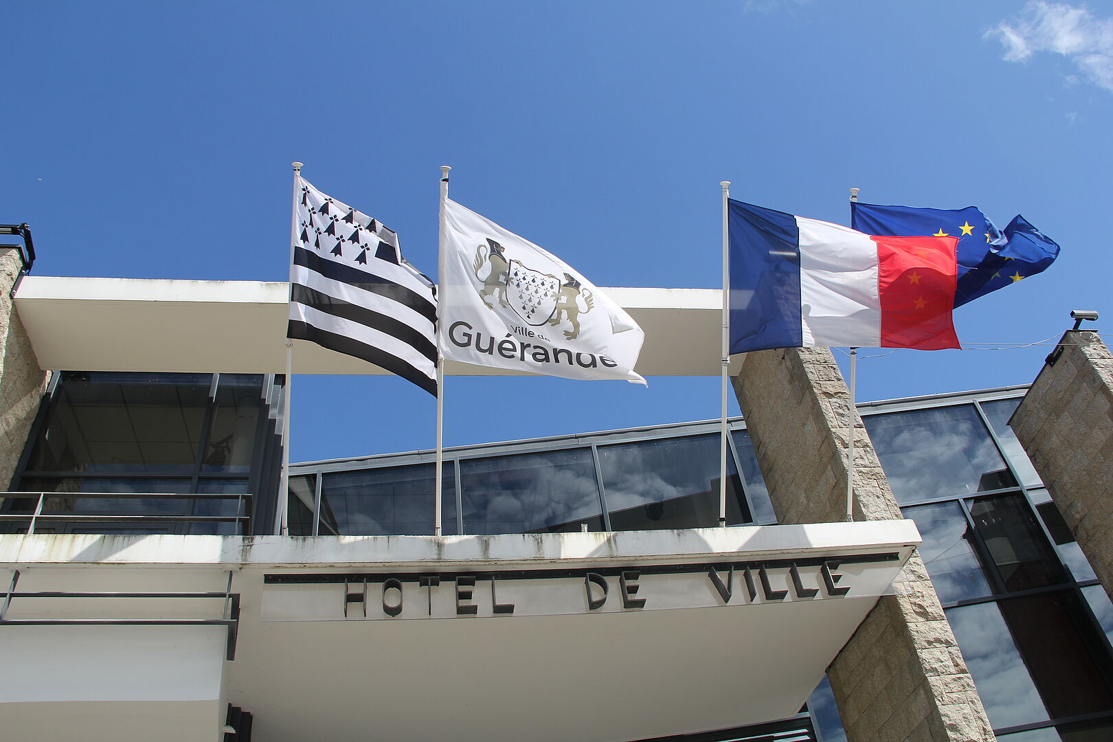
The flag of Guérande (photo) is white with the municipal logo adopted in 2016, which is composed of the simplified municipal arms with the name of the municipality below. The former flag of Guérande (photo) was white with the former municipal emblem, composed of the municipal arms with the name of the municipality below.
Olivier Touzeau, 26 October 2020
![[Flag]](../images/f/fr-44-g2.gif)
Traditional flag of Guérande - Image by Ivan Sache, 9 September 2012
The traditional flag of Guérande (photo) is white with a black cross and a black ermine spot in each quarter.
According to D. Kervella and M. Bodlore-Penlaez (Guide des drapeaux
bretons et celtes), this flag, first reported in the 1900s and now
commonly used in Guérande, is of obscure origin. A similar design is
represented on a portolano dated 1504, nearby Nantes, but
identification of the flag is tentative; whether such a flag was ever
used in Guérande is unknown. The flag of Guérande might also have been derived from of a coin minted in Guérande by Duke of Brittany John IV, which features a cross cantonned with four ermine spots.
Ivan Sache, 9 September 2012